Matias Romero

My research focuses on reconstructing changes in the cryosphere through an integrated approach that combines geomorphology, geochronology, sedimentology, remote sensing, and numerical modelling.


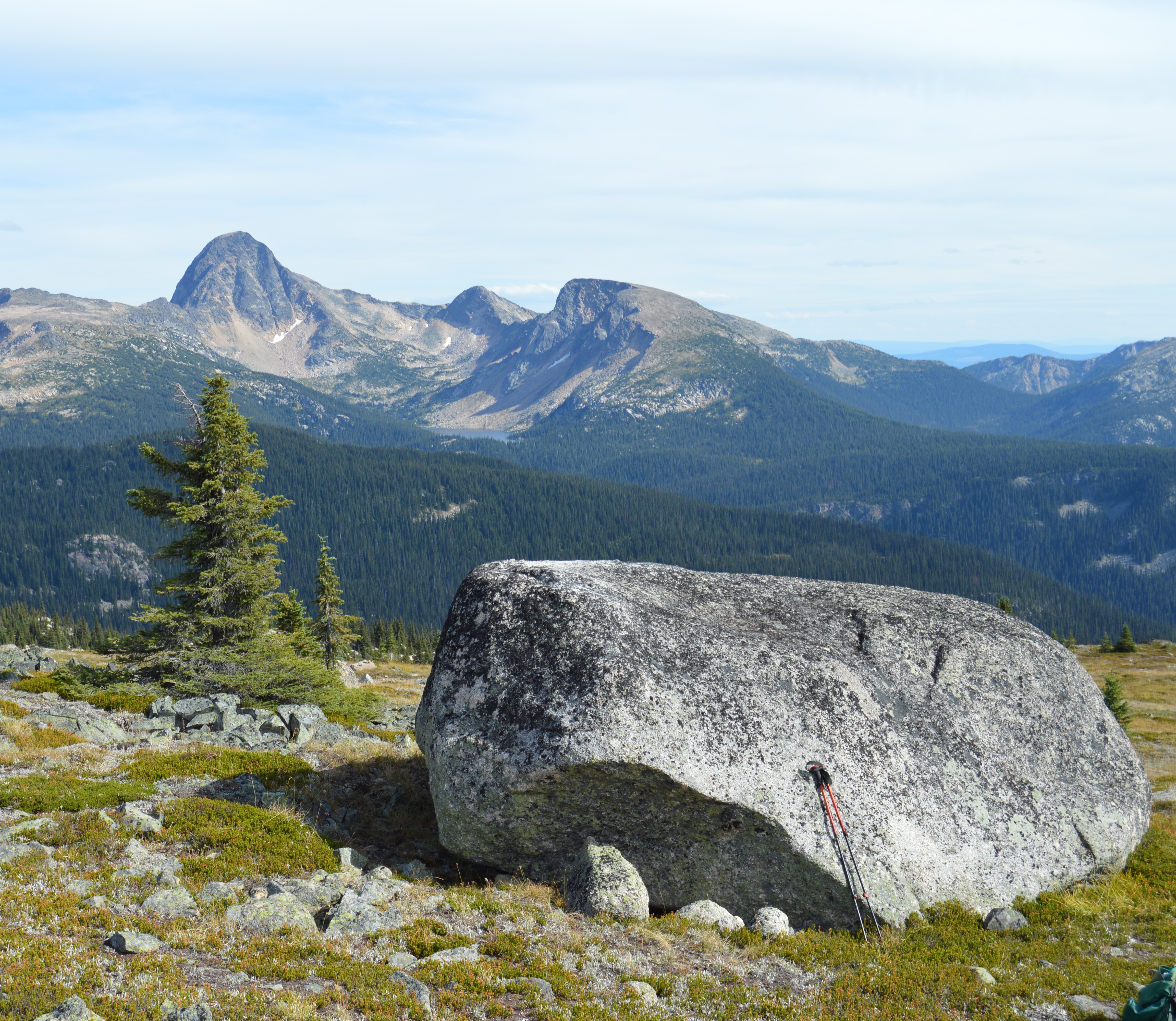
Cordilleran Ice Sheet collapse and deglaciation dynamics

Using a combination of 10Be cosmogenic nuclide surface-exposure dating and numerical modeling, I seek to constrain the timing of rapid ice-sheet thinning and disintegration across the interior of British Columbia. This work will help refine our understanding of the style of deglaciation of the Cordilleran Ice Sheet and explore the climate forcings behind rapid changes in ice configuration and sea-level rise during the last deglaciation.

Patagonian Ice Sheet thinning and deglaciation style

I use 10Be exposure ages from elevation transects (“dipsticks”), together with ice-sheet modeling, to constrain the magnitude and timing of ice thinning and deglaciation across Patagonia. This approach informs ice-unloading histories in tectonically active settings and helps explore the climate forcings that drive mid-latitude ice-sheets collapse on millennial-to-centennial timescales.

Remote sensing of glacier change

Holocene glaciation in the Andes

Using cosmogenic nuclide surface-exposure dating of moraine boulders, geochemical proxies from lake-sediment cores, seismic imaging of submerged glacial landforms, and geospatial analysis, I constrain the spatially variable nature of Holocene glaciation in the Andes, particularly in Patagonia, to reconstruct cryospheric conditions prior to the industrial era. Additionally, through numerical simulations, I quantify ice-volume changes over the last few centuries and validate these estimates using geological evidence.

Mountain peaks used as glacial dipsticks

Late Quaternary evolution of the Patagonian Ice Sheet

I study the evolution of the Patagonian Ice Sheet over glacial and interglacial timescales by mapping and dating glacial deposits across Patagonia. Using a combination of cosmogenic nuclide surface-exposure dating and luminescence dating, I seek to constrain the timing and structure of glacial maxima of mid-latitude ice sheets and their relationship to Southern Hemisphere climate.

Mountain peaks used as glacial dipsticks

Holocene relative sea-level change in Antarctica

I seek to understand the impact of ice unloading on the solid Earth by reconstructing relative sea-level change around the northern Antarctic Peninsula, particularly in the South Shetland Islands. Using a combination of radiocarbon dating, drone imagery, and topographic surveys, I constrain the timing of ice fluctuations and associated relative sea-level change.

Mountain peaks used as glacial dipsticks

Late Pleistocene and Holocene evolution of the Antarctic Ice Sheet

My goal is to provide geochronological constraints on the timing of ice-sheet and glacier advance and retreat around the Antarctic Peninsula, particularly on James Ross Island. I follow a morphostratigraphic approach that combines detailed mapping of glacial landforms and analysis of glacial stratigraphy with radiocarbon and luminescence dating.